Part 5 of a series on the Indus epochs of Rohri, Bukkur and Sukkur. Part 1 began at 2500 BCE, Part 2 followed the river through the Kushans and Sasanians, Part 3 ended with the Habbari emirs, and Part 4 closed with the Arghuns at the gate in 1524. This fifth part carries the story from that conquest to the bridges and barrage of the twentieth century.
Part 5 at a glance
| Date | What happened at the river gate | Who held Bukkur |
|---|---|---|
| 1520 | Shah Beg Arghun takes Sindh and makes Bukkur his citadel | Arghun dynasty |
| 1541-1543 | Humayun camps at Rohri and blockades the fort without taking it | Shah Hasan Arghun |
| 1592 | Akbar’s general Khan-i-Khanan accepts the surrender of Jani Beg Tarkhan | Mughal garrison |
| 1599-1607 | Mir Masum Shah raises his minaret above Sukkur | Mughal subah |
| 1701-1783 | Kalhora amirs dig inundation canals across the floodplain | Kalhora, then ceded west |
| 1740 | Nadir Shah makes the Indus an imperial border | Persian garrison |
| 1748 | Ahmad Shah Durrani transfers Sindh’s tribute to Kandahar | Afghan garrison |
| 1783-1839 | The Talpurs hold the fort until the British ask for the keys | Talpur amirs of Khairpur |
| 1819 | The Kutch earthquake shifts the lower Indus and Britain reaches the frontier | Talpur amirs |
| 1843-1889 | Annexation, then the Lansdowne cantilever crosses the gorge | British arsenal |
| 1923-1932 | The Lloyd Barrage turns the floodplain into canal country | British India |
1520-1524 CE: Shah Beg Arghun and the rebuilding of Bukkur
In 1520 the political map of Sindh changed quickly. Shah Beg Arghun, a Turkic-Mongol commander pushed south from Kandahar as Babur rose in the north, defeated Jam Feroz and ended two centuries of Samma rule. Control of the river highway ran through Upper Sindh, so he planted his court and his garrison on the rocky island of Bukkur between Rohri and Sukkur.
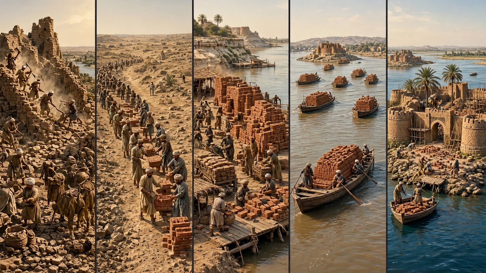
What followed was one of the largest acts of recycling in Sindhi history. Between 1520 and 1522 his engineers dismantled the outer walls, towers and gateways of the abandoned capital at Aror, and hauled the baked brick and cut stone across the channel to raise double ramparts, bastions, river gates and a royal residence on the island. One building was left standing: the mosque associated with Muhammad bin Qasim at Aror, spared out of reverence.
Shah Beg died in 1524 and his son Mirza Shah Hasan Arghun ruled Sindh from Bukkur and Thatta for the next three decades. The fort he rebuilt is the one later travellers, Mughal officers and British surveyors all described: a walled island in the middle of the narrows, controlling every boat that passed.
1541-1543 CE: Humayun’s exile at Rohri and Sukkur
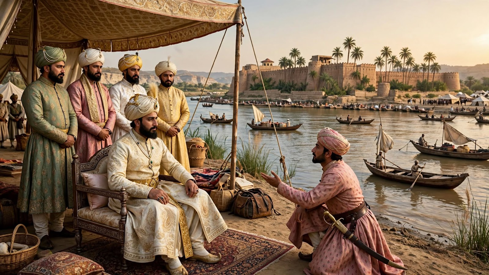
After Sher Shah Suri defeated him at Kannauj in 1540, the second Mughal emperor Humayun came south looking for a base, an army and a way back to Delhi. In 1541 he reached the Rohri-Sukkur gorge with his household, his nobles and what remained of his troops, and pitched a royal camp in the palm groves on the Rohri bank, directly facing Bukkur.
His brother Hindal held the Sukkur side. Shah Hasan Arghun refused to hand over the fortress and simply waited behind his walls, selling grain and letting the Mughals buy boats. For two years the two courts negotiated across the water. Three things came out of that stalemate:
- The marriage of 1541. Near Rohri, Humayun married Hamida Banu Begum, daughter of the Sufi scholar Sheikh Ali Akbar Jami.
- The birth of Akbar. After the couple crossed the Thar toward Umerkot, Hamida gave birth to Jalal-ud-din Muhammad Akbar on 15 October 1542.
- The exit of 1543. Shah Hasan supplied three hundred boats, grain and safe passage, and Humayun left for Kandahar and then Persia, from where he would return to retake India.
1591-1592 CE: Akbar’s annexation of Sindh
Half a century later Akbar wanted the northwest sealed, the Kandahar road secured and the river route to the Arabian Sea in his hands. He sent his best commander and grand vizier, Abdur Rahim Khan-i-Khanan, down the Indus from Multan with a combined land and river force.
Bukkur became the campaign’s northern naval base: a depot for grain and powder, an assembly point for heavy guns mounted on boats, and the hinge of the advance south. Khan-i-Khanan blockaded the island and pushed on against Mirza Jani Beg Tarkhan, whose cavalry could not answer cannon on water. After fighting at Unarpur and Lakhat, Jani Beg surrendered in 1592. Akbar received him with honour, gave him a rank in the mansabdari system and made him governor of Thatta, while Sindh became an imperial subah with Bukkur as the seat of its own sarkar and directly appointed faujdars.
1599-1607 CE: Mir Masum Shah’s Minar
Peace brought patronage. Mir Masum Shah, born in the Bukkur-Rohri area, served at Akbar’s court as scholar, historian, diplomat and calligrapher, and wrote the Persian chronicle Tarikh-i-Masumi around 1600. As faujdar of his home sarkar he turned Sukkur and Rohri into a workshop of imperial building.
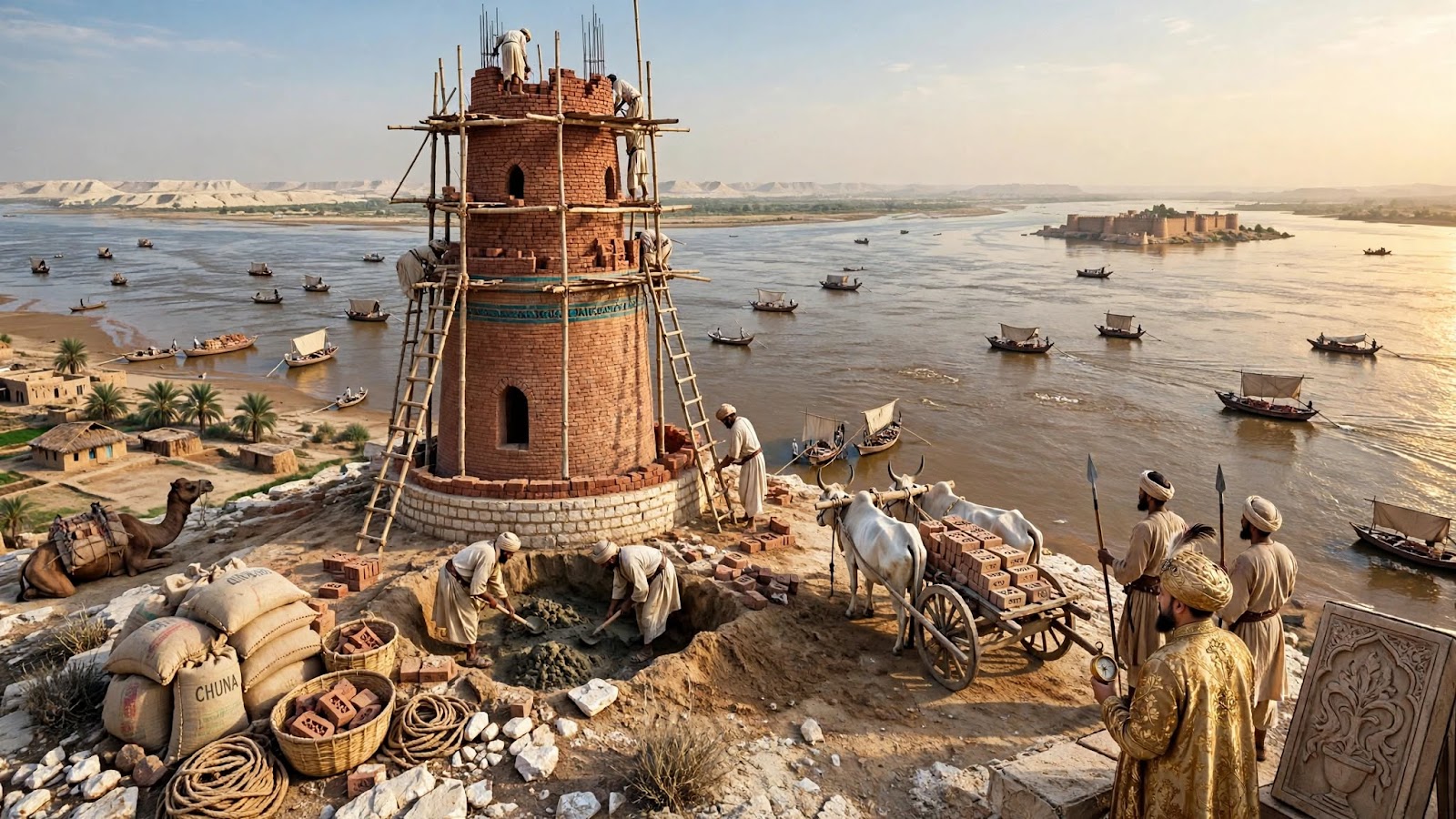
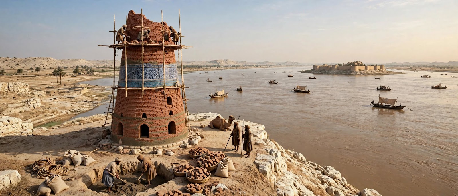
His masterpiece is the tower on the limestone hill above Sukkur, begun around 1599 and finished by his son Mir Buzurg in 1607: roughly eighty-four feet of red sandstone and brick, built to be seen from the river and the fort. Around it stand open pavilions, domed tombs and carved inscriptions, and his calligraphy travelled as far as Kandahar and Agra. You can still climb it, and the view of the minaret and its hill is the best introduction to the Mughal chapter of this city.
1701-1783 CE: Kalhora canals and the river border
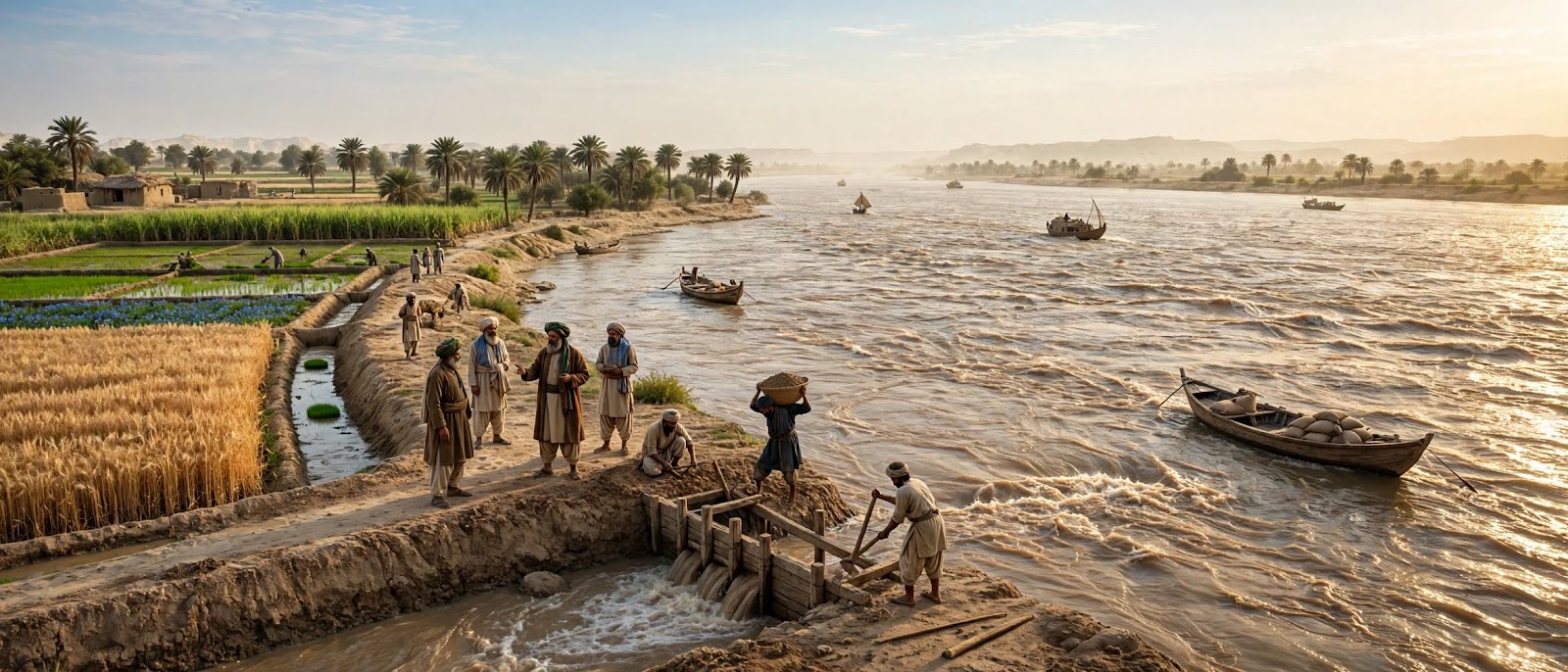
The eighteenth century gave Upper Sindh two things at once: an agricultural boom and a border through the middle of its river. Under the Kalhora dynasty, from Mian Yar Muhammad to Mian Ghulam Shah, engineers cut and widened a web of inundation canals that took flood water out of the Indus gorge and spread it over the dry plains: the Ghar, Begari and Shah Ji canals above all, later joined by the Dadu system.
Those channels turned the country around Sukkur, Rohri and Shikarpur into wheat, rice, indigo and date-palm country. Politically the river split in two. After 1739 the west bank and the island were garrisoned by Afghan troops, while Rohri on the east bank stayed under Kalhora officials and the hereditary Sayyids of the Mir Masum family, and grew as a free riverport and shrine town. The Kalhora wars that followed would decide who taxed that trade.
1740 CE: Nadir Shah and the Indus frontier
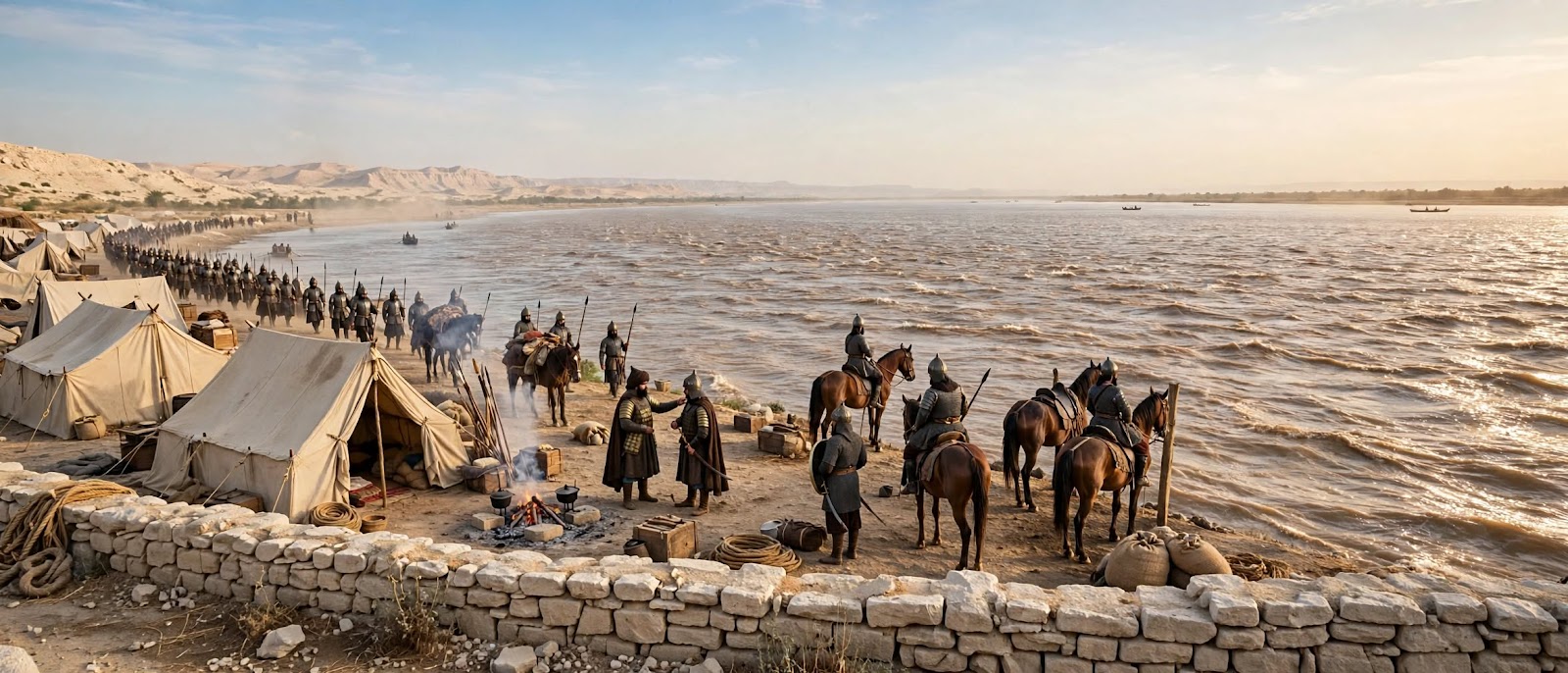
After crushing the Mughals at Karnal in 1739, Nadir Shah took everything west of the Indus, and Sukkur with Bukkur passed into Persian hands. In February 1740 he marched down the valley in person, took Larkana, chased Mian Noor Muhammad Kalhoro to Umerkot and accepted his submission with a large indemnity and an annual tribute.
The settlement fixed the Indus as an international line. Sukkur and the island citadel became Persian frontier posts with tax collectors and a garrison; Rohri, on the eastern bank, was left alone and kept trading. Nadir Shah also carved Sindh into three tributary zones, with the Rohri-Khairpur tract as one of them, which confirmed the gate’s role as a customs bottleneck between India, Afghanistan and the sea.
1748 CE: The Durrani takeover
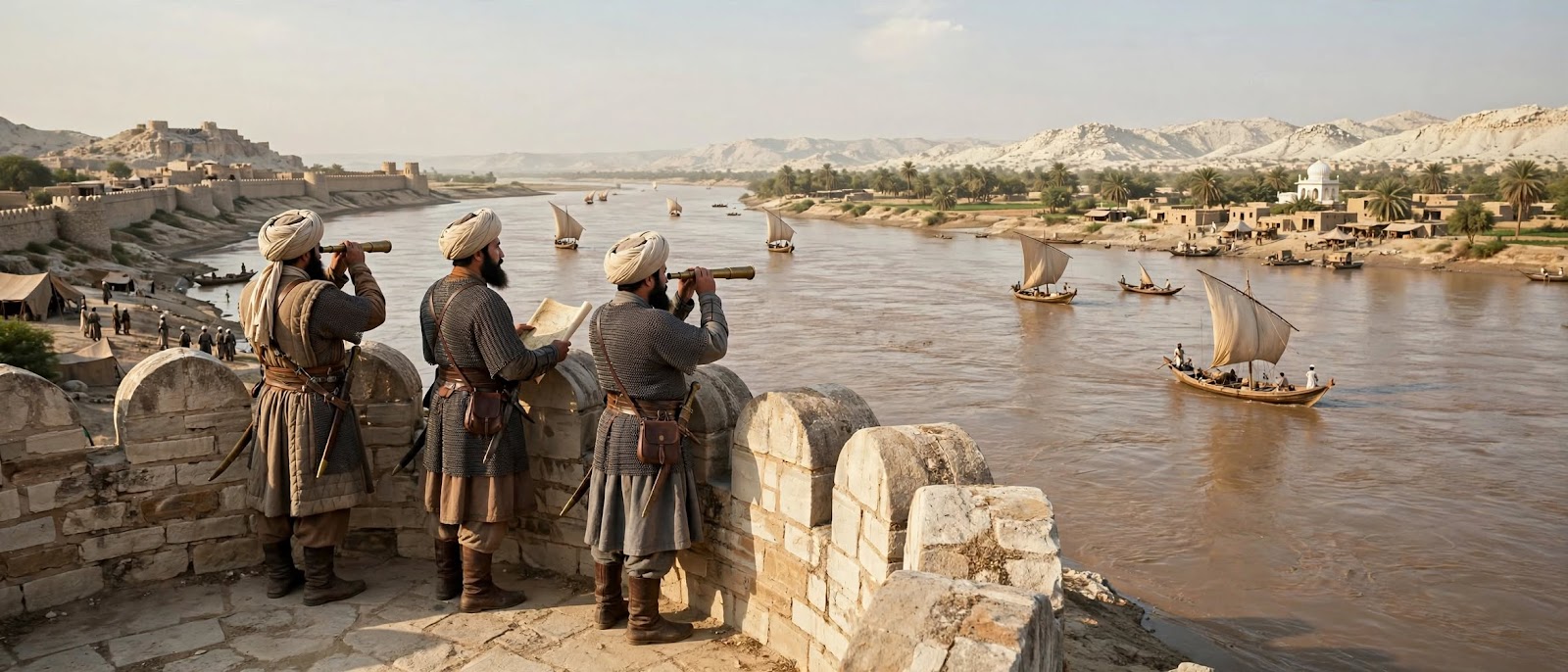
Nadir Shah was assassinated in 1747 and his empire split two ways. In Persia, Karim Khan Zand built the Zand state at Shiraz and never came near the Indus. In the east, Nadir’s commander Ahmad Shah Durrani crowned himself at Kandahar and claimed the old trans-Indus lands for Afghanistan.
In 1748 Durrani troops came down the river road and told Mian Noor Muhammad to send his tribute to Kandahar instead of Persia. It was a change of landlord, not of life: Afghan officers held Sukkur and Bukkur, collected dues from boats, and left Rohri’s markets and shrines to the Kalhoras and the local Sayyids.
1783-1839 CE: The Talpurs and the keys to Bukkur
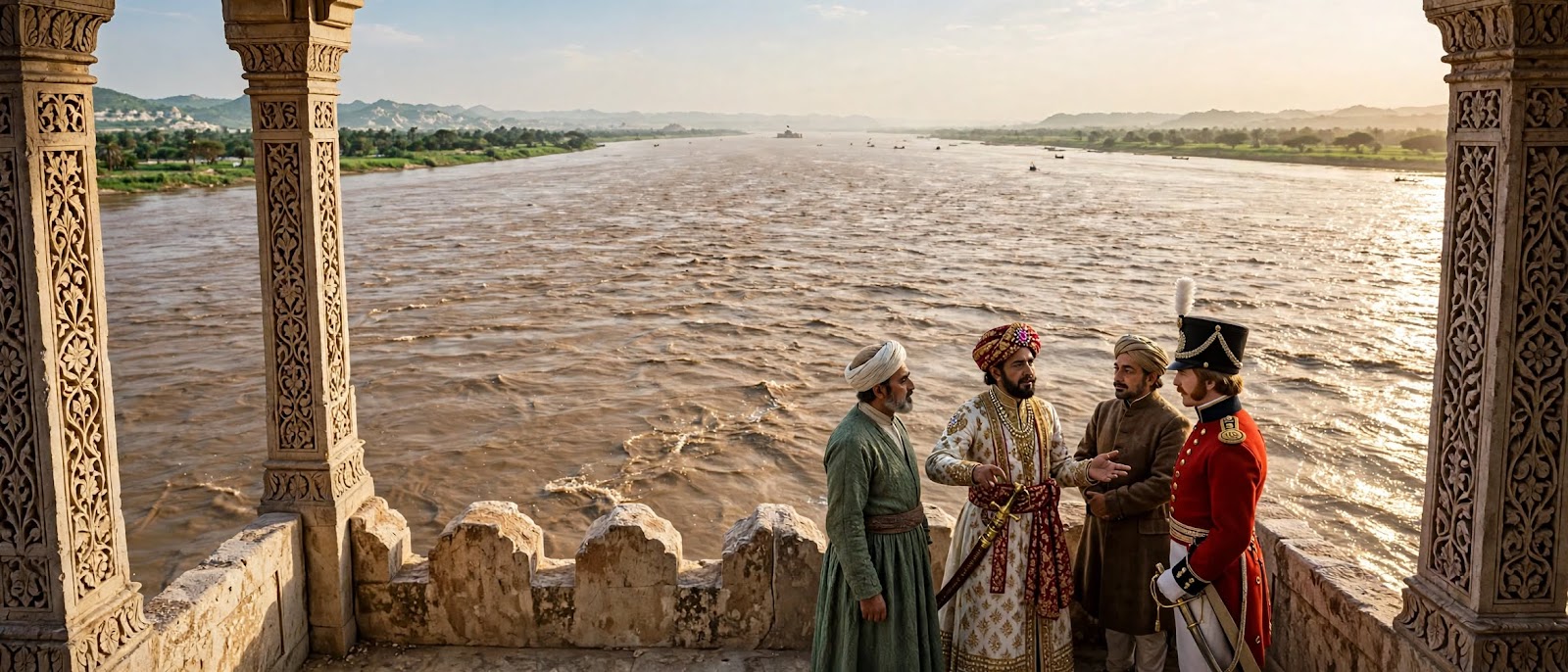
At the Battle of Halani in 1783 the Talpur amirs broke Kalhora power and divided Sindh between their branches. Upper Sindh, with Khairpur, Rohri and Sukkur, went to Mir Sohrab Khan Talpur and later to his son Mir Rustam Khan, and Bukkur served the Khairpur state as its crown fortress, treasury and river guard.
Then came the First Anglo-Afghan War. Britain needed a bridgehead and a supply line for its Army of the Indus, and the obvious crossing was the island. In 1838 Alexander Burnes and Lord Auckland pressed Mir Rustam into the tripartite treaty; in February 1839 he handed over the keys. British troops occupied Bukkur without a shot, threw a pontoon bridge from Rohri across both channels, and the age of the amirs began to close. Daily life on the bank in that decade, from the river market to the British camp at Rohri, is its own story.
1819 CE: The Kutch earthquake and the British frontier
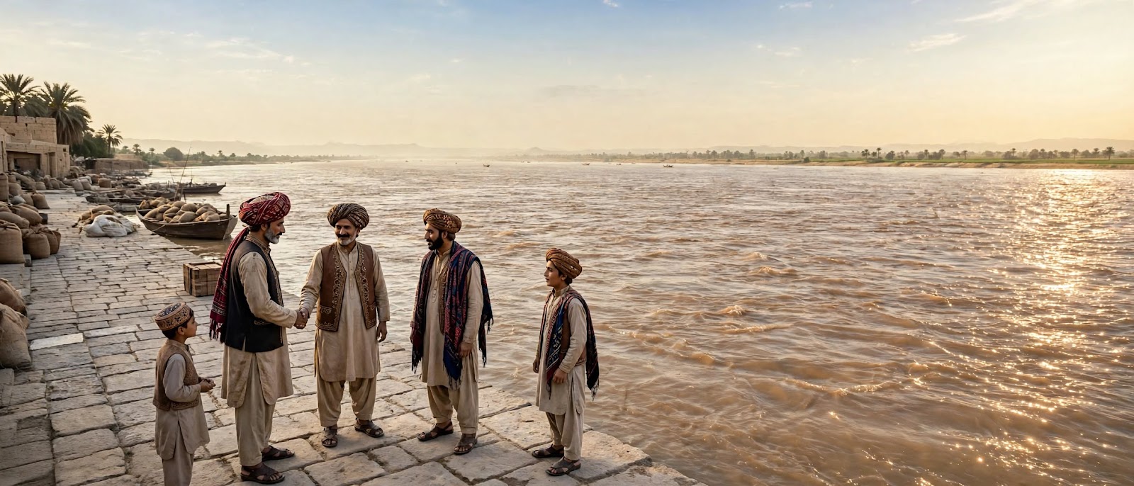
On 16 June 1819 an earthquake of roughly magnitude 7.8 to 8.2 shook the Rann of Kutch and lifted a ridge about eighty kilometres long out of the ground, known ever since as the Allah Bund, the mound of God. It reshaped channels in the lower delta, moved the coastline and reset how boats reached the sea.
The same year the East India Company took Cutch, and British officers appeared on Sindh’s southern border for the first time. The Talpur amirs answered by strengthening the defences at Bukkur and watching the frontier while keeping the river trade and date harvest running. Nobody at Rohri could know that within a generation the road from the sea would arrive at their own bridge.
1843-1889 CE: Annexation and the Lansdowne Bridge
After Charles Napier‘s victories at Miani and Dubbo, Britain annexed Sindh in 1843. Bukkur became a military depot, powder magazine and telegraph station on the route between Karachi, Multan and the frontier, and Napier’s new administration used Sukkur as one of its collectorates. The garrison town, the railway quarter and the civil lines all date from this period.
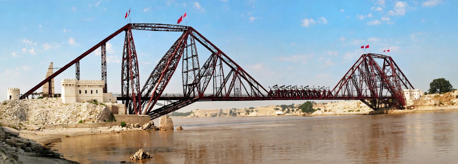
The railway forced the next change. To link Karachi with Lahore the North Western Railway had to cross the Indus at the narrowest, deepest point in Sindh. The Lansdowne Bridge, designed by Sir Alexander Rendel and built in London by Westwood, Baillie and Company, was erected between 1887 and 1889: an 820-foot steel cantilever carrying the line across the main channel with no pier in the water. Lord Lansdowne opened it on 25 March 1889, and it was then the longest rigid cantilever span in the world. The surveys, the designers and the workers are recorded in the story of the Lansdowne crossing.
1923-1932 CE: The Sukkur Barrage
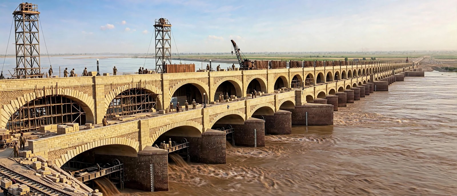
The last great intervention of the colonial period was water rather than stone. Between 1923 and 1932 engineers under Sir Arnold Musto built the Lloyd Barrage, later the Sukkur Barrage, just downstream of the island, using yellow limestone quarried in the Rohri Hills and local granite.
The barrage runs 4,725 feet across the gorge in 66 arched bays fitted with iron gates, and its canals – the Nara, Rohri, Khairpur, Rice and Dadu among seven feeders – spread over ten thousand miles of channels. Inaugurated on 13 January 1932, it turned the dry doabs of Upper and Lower Sindh into Pakistan’s wheat, cotton, rice and sugarcane country, and made Rohri, Bukkur and Sukkur the water control point for the whole province. The first stone and the politics around it are told in the story of the barrage foundation stone.
1947-2026 CE: The modern river gate
After Partition in 1947 the twin towns and the island took on a new role as the transport, trading and irrigation centre of Upper Sindh, absorbing refugees and growing into one of the province’s largest urban economies. In 1962 President Ayub Khan opened the steel arch Ayub Bridge beside the old cantilever, separating rail from road traffic and giving the gorge the twin spans it is known for today.
What remains is rare: a single crossing where five thousand years of use can be read in one view. The flint quarries of the Rohri Hills and the island temples, the walls Shah Beg rebuilt, the minaret Mir Masum raised, the Victorian spans and the barrage gates all sit within a few kilometres of each other, on the same water.
What changed at the river gate
Five centuries, one lesson. Whoever held Bukkur held the crossing, and the crossing paid for itself in tolls, grain and boats. Part 5 is the record of that rule being tested by every new empire in turn.
- 1520-1592: the fort changes hands three times – Arghun, then Mughal – and each new ruler rebuilds rather than replaces it.
- 1592-1739: Mughal peace turns the gate into a building site: minarets, pavilions, calligraphy, canals.
- 1739-1843: the river becomes an international border, with Persia and Afghanistan on the west bank and Sindhi authority on the east.
- 1843-1932: steam, steel and concrete end the age of the boat toll. The bridge and the barrage make the gate a junction instead of a choke point.
Part 5 questions
Why did Shah Beg Arghun choose Bukkur instead of Thatta?
Because the island commanded the narrows between Rohri and Sukkur, and every boat and army moving between Punjab, Kandahar and the sea had to pass it. Thatta was richer, but Bukkur was the lock on the door.
Did Humayun ever capture Bukkur Fort?
No. He camped at Rohri from 1541 to 1543 and negotiated, but Shah Hasan Arghun kept the gates shut and supplied him only with boats, grain and passage out of Sindh.
When did Sindh become part of the Mughal Empire?
In 1592, when Mirza Jani Beg Tarkhan surrendered to Khan-i-Khanan. Sindh became a subah with Bukkur as the seat of its own sarkar.
What did the British use Bukkur Fort for?
After 1843 it was an arsenal, powder magazine, telegraph office and river transport depot on the Karachi-Multan route, and a base for Napier’s frontier campaigns.
Timeline progress: the series is complete
✅ Lakheen-Jo-Daro, c. 2000 BCE
✅ Indo-Aryan settlements, 1500 BCE
✅ Maurya Empire, 278 BCE
✅ Indo-Greek Kingdom, 178 BCE
✅ Greco-Bactrian trade, 159 BCE
✅ Later Indo-Greek rule, 145 BCE
✅ Parthian influence, 95 BCE
✅ Indo-Parthian Kingdom, 21 CE
✅ Kushan Empire, 81 CE
✅ Sasanian Empire, 251 CE
✅ Hephthalite era, 496 CE
✅ Rai Dynasty and Aror, 564 CE
✅ Brahmin Dynasty, 632 CE
✅ Umayyad campaign and Aror, 711-712 CE
✅ Abbasid takeover, 751 CE
✅ Habbari Dynasty, 862 CE
✅ Ghurids and Bukkur garrison, 1193 CE
✅ Qabacha’s kingdom, 1206-1207 CE
✅ Mamluk siege of Bukkur, 1228 CE
✅ Soomra era, 1296-1300 CE
✅ Ibn Battuta at Bukkur, 1340 CE
✅ Tughlaq campaign, 1351 CE
✅ Samma Dynasty and Jam Nindo, 1351-1520 CE
✅ Arghun conquest and rebuilding of Bukkur, 1520-1524 CE
✅ Humayun’s exile at Rohri, 1541-1543 CE
✅ Mughal annexation under Akbar, 1591-1592 CE
✅ Mir Masum Shah’s Minar, 1599-1607 CE
✅ Kalhora canals and the river border, 1701-1783 CE
✅ Nadir Shah’s campaign, 1740 CE
✅ Durrani takeover, 1748 CE
✅ Talpurs and the keys to Bukkur, 1783-1839 CE
✅ Kutch earthquake and British frontier, 1819 CE
✅ Annexation and the Lansdowne Bridge, 1843-1889 CE
✅ Sukkur Barrage, 1923-1932 CE
Read next on Rohri.net
Related reading on this site:
- Part 1: 2500 BCE – 145 BCE
- Part 2: 95 BCE – 496 CE
- Part 3: 564 – 862 CE
- Part 4: 1193 – 1524 CE
- When Bukkur became Sher Garh
- Mir Masum Shah’s Minaret: history and visitor guide
- Jamia Mosque Rohri and Mughal architecture
- Rohri, Umarkot and the Kalhora wars
- The British camp at Rohri, 1846
- Tilsi Market, Rohri: 1911-1959
- Rohri railway station history
- Lansdowne Bridge: surveys and designers
- Lansdowne and Ayub bridges: current condition
- Sukkur Barrage foundation stone, 1923
- Sadh Belo temple on the Indus
Sources
Primary narrative and dates cross-checked against these references:
- Arghun dynasty
- Shah Beg Arghun
- Babur
- Humayun
- Hamida Banu Begum
- Sher Shah Suri
- Akbar
- Abdur Rahim Khan-i-Khanan
- Tarkhan dynasty
- Mughal Empire
- Masum Shah
- Kalhora dynasty
- Battle of Karnal
- Nader Shah
- Ahmad Shah Durrani
- Durrani Empire
- Talpur dynasty
- Battle of Halani
- 1819 Rann of Kutch earthquake
- First Anglo-Afghan War
- Alexander Burnes
- Charles James Napier
- Battle of Miani
- Lansdowne Bridge
- Sukkur Barrage
- Ayub Bridge
#Rohri #Bukkur #Sukkur #SindhHeritage #MughalEra #ArghunDynasty #Humayun #Akbar #MirMasumShah #TalpurDynasty #LansdowneBridge #SukkurBarrage #IndusRiver #IndusEpochs #BritishIndia
Illustrations in this series are digital reconstructions made for Rohri.net, not photographs of the events described. Dates follow the sources listed above; where chronicles disagree, the range is given.

Leave a Reply